

Speaker
-
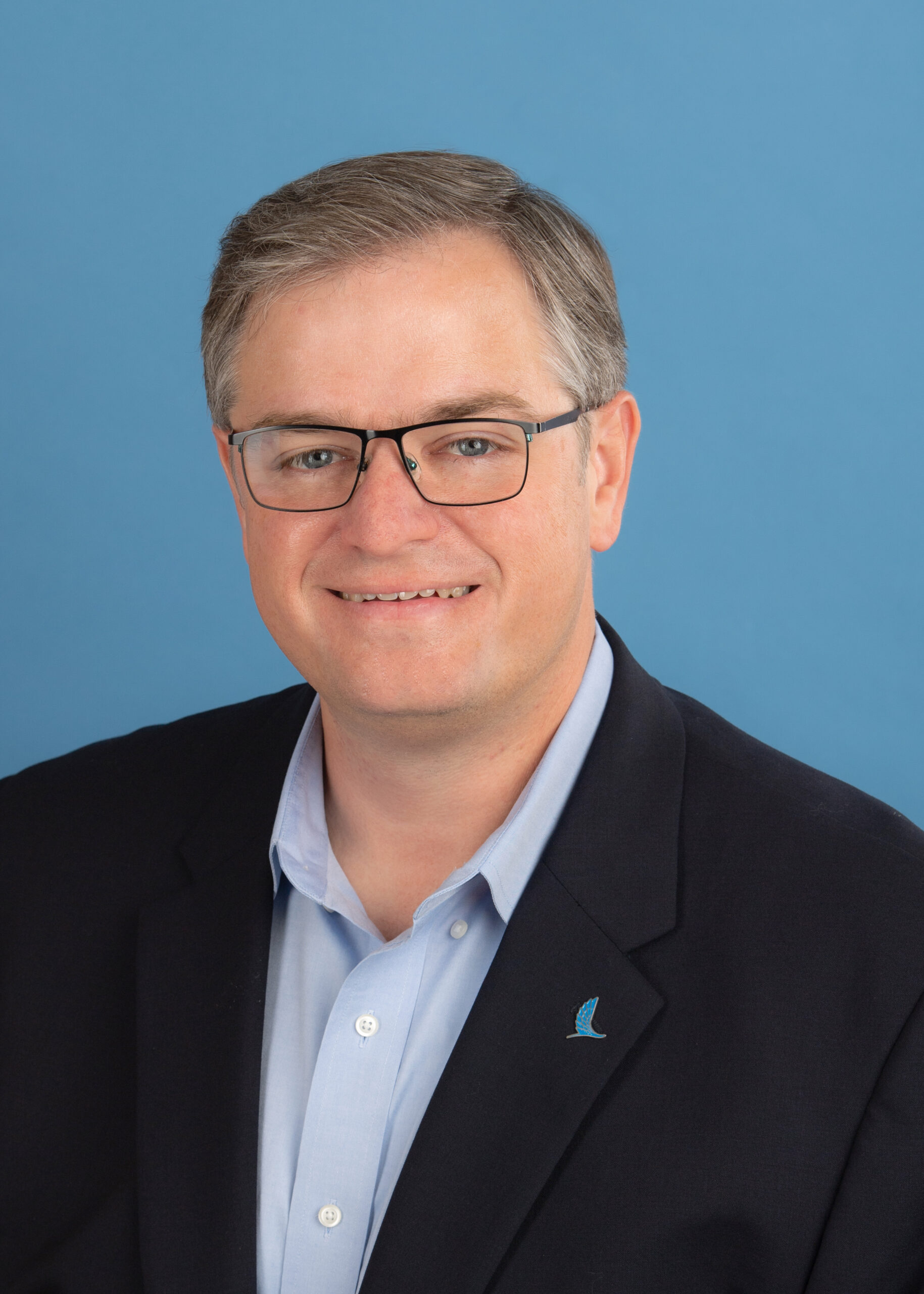 Richard Smith PhDExecutive Director | Conrad Blucher Institute for Surveying and Science
Dr. Richard (Rick) Smith is Executive Director of the Conrad Blucher Institute for Surveying and Science (CBI) at Texas A&M University–Corpus Christi (TAMU-CC), where he leads research and infrastructure that push the boundaries of geospatial science by applying cutting-edge technologies to map, measure, and manage the big data used to understand and predict our physical environment.
Rick earned his Ph.D. in Geography from the University of Georgia, along with a Master of Science in Computer Science and a Bachelor of Science in Geographic Information Science, both from TAMU-CC. He began his career at TAMU-CC from 2009 to 2017 as an Assistant Professor of Geographic Information Science (GISc) and Geospatial Surveying Engineering (GSEN), serving as Program Coordinator for both programs and as a CBI Research Scientist. His academic work focused on systems integration, cartography, and geospatial technology for disaster response, and he founded the Spatial {Query} Lab at CBI, where his team digitized historic land surveying records including the Conrad Blucher Surveying Collection.
From 2017 to 2022, Rick moved into industry as Staff Geospatial Data Manager at bp, leading the company’s Global Geospatial Foundations Team. There he designed and delivered several high-impact products, including a reinvented production-performance reporting method for bp’s Gulf of Mexico team, automated production of Marine Vessel Operations Charts and Application for Permit to Drill plats, a COVID-19 data system used to track health data for more than 6,000 employees, and a safety-critical real-time monitoring system for passing and attending marine vessels.
In March 2022, Rick returned to TAMU-CC to lead CBI as Executive Director, where he continues to honor the Blucher family’s legacy of precision measurement while building the institute’s next generation of geospatial research and applied programs.
Local Time
- Timezone: America/New_York
- Date: Sep 17 2026
- Time: 9:00 AM - 10:00 AM
Reference Points in Motion: Measuring a Dynamic Earth for Resilient Texas Infrastructure
Resilient infrastructure begins with a simple assumption: that we know where things are. Yet the ground beneath Texas is anything but still. Portions of the Houston region and the Eagle Ford are subsiding at more than 20 millimeters per year. The North American tectonic plate rotates continuously beneath our feet. Relative sea level along the Gulf Coast is the combined product of a rising ocean and sinking land. For civil engineers designing levees, pipelines, ports, roadways, and drainage systems intended to last decades, these movements are no longer academic; they are design constraints.
This keynote draws on more than three decades of continuous coastal and land observation by the Conrad Blucher Institute at Texas A&M University–Corpus Christi, which operates the Texas Coastal Ocean Observation Network, maintains every NOAA PORTS® system in Texas, and designated as the Texas Spatial Reference Center. We will examine how modern measurement tools, including Interferometric Synthetic Aperture Radar (InSAR), are quantifying millimeter-scale surface deformation across the state, and what those measurements mean for infrastructure asset management, flood risk, and long-term planning.
The talk will also introduce the modernized National Spatial Reference System scheduled for rollout in the coming year and explain, in practical terms, what changes for the engineering community when horizontal and vertical coordinates carry a timestamp.